Clients  
     
 
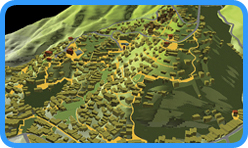
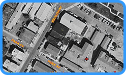
GIS is a combination of hardware, software and data used to analyze, manage and solve real world issues Geospatially.

Geospatial is a term widely used to describe the combination of spatial software and analytical methods with terrestrial or geographic datasets.
         
Site Suitability
(Locating client near targeted customers...)
Parcel Variance
(Request for Zoning Code change...)
Parcel Editing (Legal digital representation
of owner(s) property(s)...)
Demographic Studies
(Population distribution...)
Municipal Services
(EMS response area...)
Utility Mapping
(Smarter Greener use of resources...)


Business Solutions:
Demographics Analysis
Trade Areas
Asset Tracking
Delivery Routing/Fleet Management
Competitive Market Analysis
Marketing/Advertising
Target Marketing/Direct Mail

Public Works / Utilities:
Water and Sewer
Electric Grids

Asset / Facility Management:
Building and Structural management
Analyze lifespan of assets
Geo-Tagging / GPS-ing items in the field spatially accounts for assets


GIS Info Tech(GIT) contracted to assist in the development of South Florida Water Management District's planned Operations Decision Support System(ODSS). A big win for GIT.

GIS Info Tech is in development of new municipal on-line permitting application. Access Gov Live will give citizens 24hr access to their local government. Citizens will have the ability to:

-Apply for permits
-Pay fees and taxes
-Pay utilities bills
-See capital projects and   expenditures
-View government spending